A first look at Babati

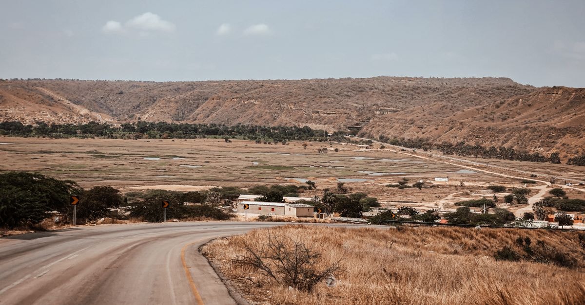
Babati sits in Tanzania's Manyara region, framed by Lake Babati and the Rift Valley Highlands, with a backdrop that makes even a simple town stroll feel cinematic. The climate is generally described as warm and temperate, with summers bringing noticeably more rainfall than the drier months, so packing a light layer for cooler evenings and a rain-ready option during the wetter stretch is a sensible habit. The town has a busy, lived-in rhythm that hints at its role as a hub for the surrounding farmland on the edge of the Rift Valley, where most crops in the area grow.
This guide focuses on what is actually supported: the climate's general character, the way the town connects to the wider road network, and the cultural tourism that draws curious travelers off the main safari circuits.
Weather and seasonal context
Babati's climate reads as warm and temperate for most of the year, which makes lightweight clothing a sensible default for daytime exploring. The clear seasonal shift to keep in mind is rainfall: summers carry much more rain than the cooler, drier winter stretch, so visitors leaning toward a wetter window may want to plan around indoor and sheltered experiences and allow extra time for slower travel between stops. Travelers who prefer drier paths for walking and outdoor observation often find the cooler, less rainy months easier to pace, though there is no single right answer here.
Because the town sits against the Rift Valley Highlands and Lake Babati, the views reward any time spent outdoors, whether the sky is clear or lightly overcast. Layering is the simplest habit that tends to serve visitors well across most of the year, given the elevation influence on evening temperatures.
Getting around
Babati is well placed along the Arusha–Dodoma road, which means it falls naturally into a road-trip rhythm for travelers already moving through northern Tanzania. The brochure describes the area as fertile farmland on the edge of the Rift Valley, and the most rewarding way to take that in is on foot, wandering the surrounding rural landscapes and the mix of tribal cultures and everyday Tanzanian life lived off the well-trodden tourist circuits.
That walking-friendly character is one of the town's quiet pleasures. Strolling out from the center, you move quickly from urban edges into cultivated land, with the Rift Valley scenery opening up as you go. For travelers who like slow, observational travel rather than a packed schedule, this is the kind of place that rewards lingering.
Attractions and planning
Babati's position is part of its appeal. The district lies in the Rift Valley, set along the Arusha–Dodoma road, south of Lake Manyara National Park and west of Tarangire National Park, so it works naturally as a pause point or a focused stop within a longer northern circuit rather than a destination that needs to carry an entire trip on its own.
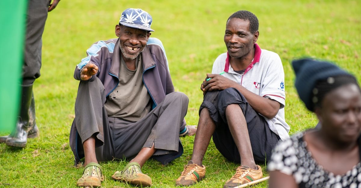
The standout activity, judging from how the local cultural tourism is described, is mixing with residents in both Babati and the nearby Hanang districts, where people follow their tribal culture and traditions closely. Visitors are able to move among them and observe everyday life, which gives the experience a rare, unstaged feeling. Day tours focused on Babati and Hanang culture are the practical way to engage with this, and they are often framed around observing lifestyle rather than performances.
Because the appeal here is rural and cultural rather than built-up or ticketed, the planning mindset is different from a city break. Travelers who enjoy photography of daily life, conversations with hosts, and the texture of agricultural landscapes tend to find the most to engage with. Anyone hoping for a denser menu of formal attractions may want to balance expectations and pair this stop with a fuller safari or national park experience elsewhere.
Choosing what fits the trip
Babati rewards a particular kind of traveler. If the goal is cultural texture, slow walking through farmland, and conversation with residents living close to traditional practices, the town and its Hanang neighbor deliver exactly that, and a half-day or full-day cultural tour is the cleanest way in. If the goal is dense, ticketed sightseeing or a high-energy itinerary, this is better treated as a complementary pause within a larger northern Tanzania trip, with parks like Lake Manyara and Tarangire framing the visit rather than competing with it. The road access via the Arusha–Dodoma corridor makes the logistics straightforward either way, and the climate's warm, temperate feel with a clear wet-versus-dry seasonal rhythm means packing decisions are simple: light layers, rain-ready options in the wetter stretch, and comfortable shoes for walking rural lanes.
A quick verification note
Conditions on the ground in and around Babati can shift, from road access along the Arusha–Dodoma corridor to the way cultural days are hosted, so it is worth checking current details with a registered local operator before confirming plans. Treat this guide as a starting framework rather than a live confirmation, and confirm opening arrangements, transport timing, and any fees directly with the provider you book through.
Prices, opening hours, schedules, reservation rules, and local conditions can change; verify them through official channels before departure.
Share this article
TOOLS FOR THIS PLAN
Make the Babati plan measurable
Choose a tool only when it answers the next question in your trip. Your values stay in the browser, and each tool offers a route back to this planning context.