A warm, well-connected stop in northern Puerto Rico

Bayamón sits in northern Puerto Rico as part of the San Juan metropolitan area, which means it carries a quieter residential rhythm while staying close to the capital's energy. Many travelers find it useful as a relaxed base from which to dip into the wider region without committing to the pace of a larger city. Its position in the metro area also shapes a practical truth: the things you do here will often connect, by road or rail, to the broader San Juan story.
This guide focuses on two practical pillars that any thoughtful Bayamón trip depends on: the kind of weather you can expect across the year, and the transport choices that move you between here and San Juan proper. If either of those is clear in your mind, the rest of your planning tends to fall into place more calmly.
Weather and seasonal context
Bayamón is a warm place to visit, with temperatures that generally range between 28°C (82°F) and 31°C (88°F) throughout the year. That band is tight enough to matter: you are not choosing between seasons in the way you might in a temperate city, but you are choosing between slightly cooler, drier stretches and slightly hotter, more humid ones. Packing light, breathable clothing and planning around the warmest hours tends to work in every season.
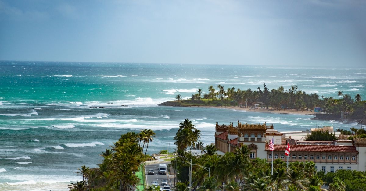
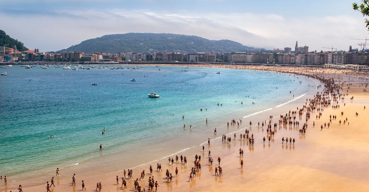
Because the temperature range is so consistent, climate guides tend to rank the year by humidity and rainfall rather than by heat alone. One widely used resource describes the best window for hot-weather activities, including beach and pool time, as running roughly from early December to mid April. That framing is a useful hint if your main reason for coming north is outdoor time by the water: the months just outside that window can still be enjoyable, but expect a heavier, more tropical feel in the air.
For Bayamón itself, monthly water temperatures in nearby coastal waters stay in the low 80s°F all year, which is a gentle reminder that the sea is always inviting, even when the air feels close. Treat any weather source as a starting point rather than a forecast for a specific week; conditions in northern Puerto Rico shift, and it is sensible to check a current local forecast closer to your trip rather than relying on averages alone.
If you prefer to be outside in the cooler, drier part of the day, the practical shape of the day in Bayamón is fairly steady: mornings and late afternoons tend to be more comfortable for walking and errands, while the middle of the day asks for shade, water and a slower pace.
Getting around
Bayamón is part of the San Juan metropolitan area in northern Puerto Rico, so most movement here is really about how you relate to San Juan proper. There are two practical ways to think about local transport: the urban rail connection that links Bayamón directly to the capital, and the broader road network that ties the metro area together.
A useful mental model is this: the rail is your link to central San Juan, and the roads are your link to everything else. Combining the two often gives you the most relaxed day.
Choosing what fits your trip
Because Bayamón is small but well connected, the most useful planning question is not what to cram in, but how you want to move. If your priority is a base that lets you step easily into San Juan for a museum morning, a food stop and an evening back home, leaning on the urban rail and keeping your days simple may suit you well. If your priority is flexibility, especially for early starts or late returns, having a car alongside the rail connection gives you a wider margin.
The climate nudges a related choice. Travelers who feel the heat strongly may prefer to plan outdoor time for mornings and late afternoons, with a slower middle of the day, and to keep beach and pool days for the cooler, drier part of the year. Travelers who enjoy tropical warmth year-round will find that the temperatures themselves rarely get in the way.
Both choices are reasonable; the right one is the one that matches how you actually like to travel.
Before you go
Travel conditions, prices and timetables can change, and this guide reflects general context rather than live information, so it is always wise to verify essential details through official channels before departure.
Share this article
TOOLS FOR THIS PLAN
Make the Bayamón plan measurable
Choose a tool only when it answers the next question in your trip. Your values stay in the browser, and each tool offers a route back to this planning context.