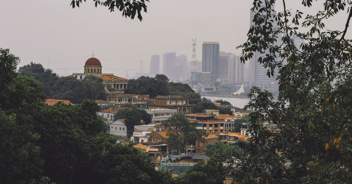
A quiet introduction to Dapaong

Dapaong sits at the very northern tip of Togo, a small city that feels more like a slow-breathing town than a stop on a busy circuit. Travelers who find their way here are usually the kind who like wide horizons, dusty market mornings and the kind of conversation that happens because there is simply more time for it. The air is dry and warm for much of the year, and the surrounding savanna rolls out toward the horizon dotted with baobab and shea trees. It is the kind of place where you arrive expecting a waypoint and end up lingering longer than planned.
This guide focuses on the practical side of that linger: what to expect from the climate, and how to think about getting around and staying safe in a remote part of Togo.
Weather and seasonal context
The landscapes around Dapaong are defined by their openness. The savanna is described as vast, with open landscapes perfect for witnessing breathtaking sunsets over the baobab and shea trees that define the region's natural beauty. There is something about that flat, far-reaching light that pulls people outside in the cooler hours, when the sky turns copper and the silhouettes of ancient trees stretch across the ground. If your travel style leans toward slow afternoons, golden-hour walks and conversations under wide skies rather than museum-hopping or dense sightseeing schedules, the natural rhythm here will feel familiar.
Because Dapaong lies in Togo's northern savanna belt, the climate is generally warmer and drier than the coastal south. Travelers who prefer milder conditions often plan their visit around the cooler dry months, when both daytime heat and humidity are easier to manage and market days feel more comfortable for unhurried exploration.
Getting around and staying safe
A few practical realities shape how you move through and around Dapaong, and they are worth knowing before you set out.
First, road access is more straightforward than the maps sometimes suggest. According to current travel advisories, several governments advise against all travel within 30 km of the Burkina Faso border, with an exception that explicitly includes Dapaong and the N1 highway. That exception matters: it means the city itself and the main highway connecting it are treated as accessible even while the surrounding border zone is flagged for higher risk. If your route planning depends on confirmed overland connections rather than flights, this carve-out is reassuring news.
Second, the broader Savanes region is generally treated with more caution. The same advisories describe the area as one where governments advise against all but essential travel to much of the region. That language is not a verdict on the city itself, but it does shape how you think about moving around it. Travelers who like to wander freely into rural villages, take random motorcycle taxis to outlying communities or camp away from the main road may want to weigh that preference against the current advisory language before committing to a flexible plan.
Third, the everyday safety picture in Dapaong itself is described in measured terms. Safety is rated as moderate, with the note that Dapaong is a remote area where caution is advised and that it is generally safe but remote, with a recommendation to avoid isolated travel after dusk. For independent travelers, this translates into a few sensible habits rather than dramatic restrictions. Returning to your guesthouse before dark, sticking to populated areas in the evening and checking in with local contacts about road conditions all tend to fit naturally with the pace of the city.
Choosing what fits your trip
For travelers who like to make these calls before they go, a few tradeoffs are worth thinking through. The dry, cooler months are widely described as more comfortable for travel and markets, which suits visitors who plan to spend long hours walking through the commercial streets or sitting outdoors. If your priority is the full intensity of savanna landscapes in their greener state, you may want to consider how the wetter months change road conditions outside the city and inside the Savanes region, where advisories are stricter.
Getting around on the N1 is supported by current advisories, while side trips into the wider region call for more caution. If you prefer self-directed exploration along minor roads and border villages, this is a destination where that style needs to be balanced against the remote-area caution that applies beyond Dapaong itself. Travelers who are comfortable basing themselves in one small city and making short, planned excursions tend to find that rhythm easier here than those who prefer fully improvised rural routes.
A practical note before you go
Factual travel conditions can change, and the official advisories, transport updates and local guidance should be checked before departure. Confirm current road access along the N1, the latest safety posture in the Savanes region and any seasonal changes that might affect your plans. A quick check before you travel turns this guide from a starting point into a well-prepared one.
Prices, opening hours, schedules, reservation rules, and local conditions can change; verify them through official channels before departure.
Share this article
TOOLS FOR THIS PLAN
Make the Dapaong plan measurable
Choose a tool only when it answers the next question in your trip. Your values stay in the browser, and each tool offers a route back to this planning context.