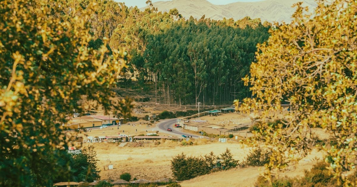
Opening view

On the northern edge of Algeria, where the Kabylie mountains drop toward a deeply indented coastline, Jijel has the unhurried feel of a working port town that happens to sit beside some of the country's most photographed shoreline. The rhythm here is set by sea, by long coastal drives, and by the bus and road links that move between small communities rather than between big city hubs. For a traveller who likes a slower pace, a few named beaches, and the kind of road where the view keeps pulling you out of the car, this stretch of coast offers an easy way to settle into place.
Getting around
Within Jijel Province, the public transport map is anchored by intercity bus stops that connect the smaller towns rather than a dense inner-city network. One such stop, **محطة الحافلات الطاهير-بازول**, is identified as a bus station in the province and is the kind of practical node that independent visitors will likely pass through or plan around when moving between places. Treating these stations as your departure points, rather than searching for a single central terminal, fits the way the local road system is laid out. If you prefer to arrange travel day by day rather than booking everything in advance, this station-based approach may suit a flexible itinerary.
Independent planners will also appreciate that broader travel coverage of the area exists online: the official-looking Jijel travel guide framing encourages visitors to share their dates so that a route can be shaped around them, which is a useful prompt to think about Jijel as a place to sequence day by day rather than to sprint through. A reader who prefers fixed schedules may want to confirm current departure times locally before pinning a plan.
For movement along the coast itself, the spine of the province is the road that heads westward toward Béjaïa. Locally it is known as the **Corniche Jijelienne**, a winding cliff route that links Jijel with the smaller coastal towns of **El Aouana** and **Ziama Mansouriah**. The road is the scenic backbone of any trip here: it is slow, twisting, and worth stopping along frequently for the views. Drivers should allow extra time, and visitors who prefer dramatic coastal scenery over straight, fast highways may find this route especially rewarding.
Beaches and coastal stops
Jijel is best known for its shoreline, and the named beaches most often highlighted for visitors are **Saphir Plage** and **Kotama Plage**. Both are described as must-visit spots, and together they give a traveller a simple starting list rather than a long catalogue. Saphir Plage and Kotama Plage sit within the broader coastal zone the Corniche threads through, which means a beach day can be paired naturally with a stretch of the cliff road without a separate detour.
For a traveller whose main interest is the sea rather than museums or city sightseeing, these two beaches offer a focused short list. Consider giving yourself at least a relaxed morning or a long afternoon at one of them rather than trying to tick both off quickly, since the appeal is in the setting as much as the swim. Travellers who prefer quieter coves than busy resort strips may find that the slower coastal pace here suits them, while visitors who want a packed schedule of in-town activities may want to pair the beach focus with a clear plan for evenings, since the focus of the coast is the sea and the road rather than a dense urban programme.
Choosing what fits the trip
The practical shape of a Jijel trip tends to fall into one of two loose patterns, and the evidence supports thinking about them as preferences rather than as fixed itineraries.
The first pattern leans on the **Corniche Jijelienne**, with El Aouana and Ziama Mansouriah as natural waypoints, extra time budgeted for stops, and beach time at Saphir Plage or Kotama Plage slotted around the drive. This pattern may suit travellers who want scenery to lead the day and who are comfortable with slow, twisting roads. The second pattern is more station-based, moving between places via bus stops such as **محطة الحافلات الطاهير-بازول**, with the coast read as a series of short visits rather than a single long drive. This second shape may suit visitors who prefer not to drive cliff routes and who are happy to plan around departure times confirmed locally.
In both patterns, the same two named beaches and the same coastal road are the backbone; the difference is how much of the journey you spend in a vehicle versus in a town. A short verification point that may help before committing is whether the coastal road conditions on the day of travel match the kind of slow, stop-heavy day you have in mind, since the route itself shapes the rhythm of the trip.
Practical notes before you go
Factual travel conditions in Jijel can change, and bus schedules, road works along the Corniche, and beach access details are best confirmed through official channels and local information shortly before departure. Treat any guide, including this one, as a starting framework rather than a live timetable, and check current conditions before you set out.
Safe travels, and enjoy the slow coast.
Share this article
TOOLS FOR THIS PLAN
Make the Jijel plan measurable
Choose a tool only when it answers the next question in your trip. Your values stay in the browser, and each tool offers a route back to this planning context.