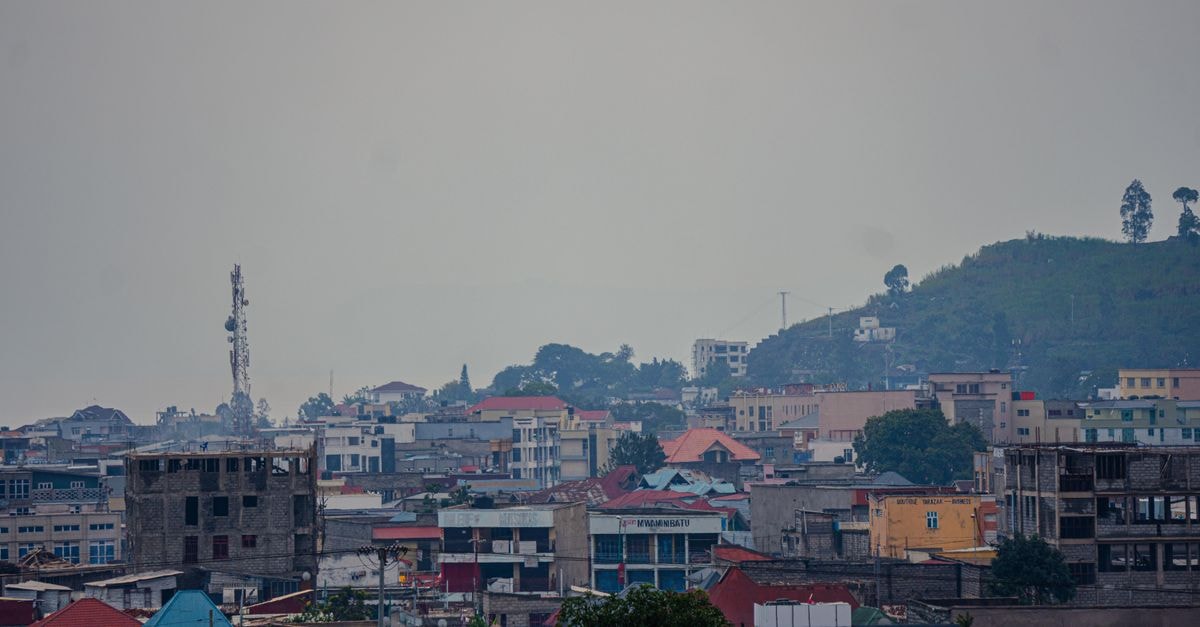
Nalerigu rewards travelers with a compact introduction to northern Ghana’s royal heritage and open savanna landscape. The town is both the administrative capital of Ghana’s North East Region and the traditional seat of the Nayiri, the King of the Mamprugu Kingdom. That dual role gives a visit to Nalerigu a distinctive cultural center of gravity: it is a living seat of traditional authority, not simply a collection of historic buildings.

Where Nalerigu Sits and What Shapes the Visit
Nalerigu lies in the Guinea Savanna belt of northeastern Ghana, approximately 155 kilometers northeast of Tamale and 50 kilometers from the border with Togo. Those distances help place the town in relation to the wider region, though the approved information does not set out road conditions, journey times, or a specific transport timetable.
The surrounding landscape can feel expansive and elemental. The Gambaga escarpment rises nearby and offers views across savanna, adding a strong sense of place to a town already shaped by Mamprugu history. If you prefer scenery that reveals the edges of the landscape rather than a tightly packed urban itinerary, consider allowing time to appreciate the escarpment’s outlook before focusing on the town’s cultural landmarks.
Nalerigu is also the traditional capital of Mamprugu, described as one of the oldest kingdoms in northern Ghana. Its history is present in the town’s identity rather than confined to a single site. For travelers interested in living heritage and the continuing role of traditional institutions, this combination of royal seat, regional capital, and historic landscape gives the visit a clear focus.
The Nayiri Palace and Mamprugu Heritage
The Nayiri’s palace anchors Nalerigu and is the traditional seat of the paramount chief of the Mamprusi Kingdom. Its historic architecture makes it the region’s key cultural landmark, but its importance goes further than appearance: it remains a working seat of traditional authority and part of an active chieftaincy tradition.
That distinction matters when choosing how to approach a visit. Rather than treating the palace simply as a museum-style stop, consider it as a place that helps explain the continuing relationship between Nalerigu and the Mamprugu Kingdom. Visitors who value living institutions, local continuity, and cultural history may find that context especially meaningful.
The palace should not be confused with the Nayiri’s official role as King of the Mamprugu Kingdom, which places the town’s traditional significance on a broader footing. In practical terms, the site gives independent travelers a focused starting point for understanding Nalerigu without needing to fit together unrelated attractions. Detailed access arrangements, visiting hours, photography rules, and entry procedures are not established in the available source material, so they should be confirmed locally before arrival.
A Historic Mission Station and Community Legacy
A historic mission station in Nalerigu contributed a hospital that is widely known in the north. This is a less immediately obvious part of the town’s story, yet it adds another dimension to how Nalerigu developed: the presence of institutional and community history alongside royal and administrative importance.
For travelers interested in the history of communities and institutions rather than scenery alone, the mission station and hospital can provide a useful lens on the town’s past. The available information identifies their significance but does not describe the site as a general visitor attraction or specify public access. If the mission-station history is important to your trip, ask locally about whether the historic site can be visited and what access is currently possible.
Getting Around and Connecting with the Region
Nalerigu became the capital of the newly created North East Region after the region was formed from the Northern Region following a public referendum. Ghana’s President Akufo Addo named the town as the new regional capital, confirming its administrative role.
This regional connection is useful context for planning. Nalerigu is approximately 155 kilometers northeast of Tamale and 50 kilometers from the Togolese border, but the approved material does not provide a dependable schedule, route plan, or fare for travel between these points. Anyone relying on local transport should therefore treat the published distances as orientation rather than as an indication of journey time.
The town’s position near the border also makes it a distinctive stopping point within northeastern Ghana. Rather than treating it as an isolated destination, it can be understood as the meeting point of several geographies: the Guinea Savanna belt, the Mamprugu heartland, the new North East Region, and a cross-border corridor. If you prefer a base that combines cultural orientation with landscape and regional context, Nalerigu offers a compact and purposeful focus.
Choosing What Fits Your Nalerigu Trip
Nalerigu’s strongest draw is the combination of a living royal institution and a broad savanna setting. Travelers drawn to history and traditional governance can center the visit on the Nayiri Palace and its role within the Mamprugu Kingdom. Those more interested in landscape may prioritize the nearby Gambaga escarpment and its views across the savanna. The mission station and hospital offer a third way to engage with the town’s community history.
The distinction between the Nayiri Palace, the historic mission station, and the escarpment is also important. They support different interests rather than forming a checklist with identical appeal. Since access details are not provided here, confirm current arrangements for the palace and mission-station site with local or official contacts before setting a firm visiting sequence.
Before departure, check official channels for current travel conditions and local arrangements. Factual travel information can change, and details about access, transport, and other visit conditions are best verified close to the time of travel.
Share this article
TOOLS FOR THIS PLAN
Make the Nalerigu plan measurable
Choose a tool only when it answers the next question in your trip. Your values stay in the browser, and each tool offers a route back to this planning context.