A capital planned on open ground

There is something quietly cinematic about arriving in Nay Pyi Taw for the first time. Wide boulevards unspool through a city that feels less grown than drawn, with long sightlines that hint at its origins as a planned administrative center rather than an organic market town. As the administrative and political capital of Myanmar, it draws visitors who are curious about how a country expresses its official self in architecture, ritual, and landscape. Travelers who enjoy slow looking tend to find the most here, because the scale invites you to slow down and read the place rather than rush through it.
If you are planning a visit, the smartest approach is to think of Nay Pyi Taw as a destination for understanding, not a checklist city. A little context goes a long way before you step out the door.
Where the city sits in the landscape
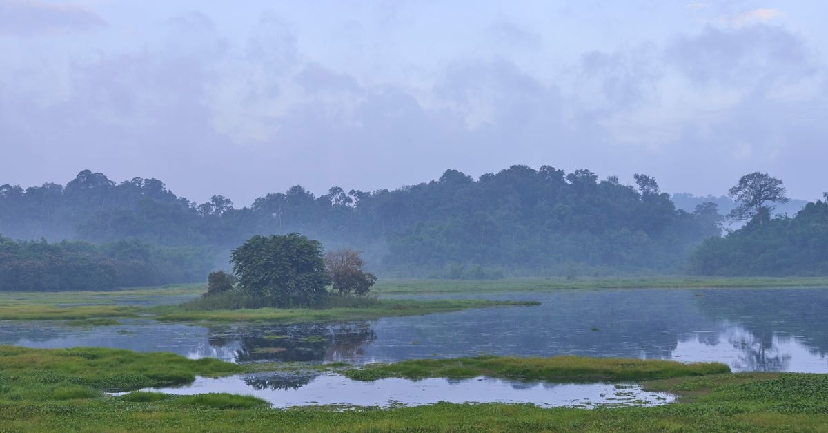
Naypyidaw was founded on a green field site some 3 kilometres west of Pyinmana, which helps explain why the streets feel unusually open and the blocks unusually regular compared with older Burmese cities. The setting itself is part of the experience. Naypyidaw is located between the Bago Yoma and Shan Yoma mountain ranges, so on a clear day the horizon often glows with soft ridges in two directions at once.
This geography matters practically as well as visually. Because the city was laid out on a wide canvas, distances between landmarks can feel longer than expected, and the air between the ranges can feel stiller than in coastal Myanmar. Building in extra time between two points you want to see is rarely a regret.
Getting around and arriving
Nay Pyi Taw works best when you treat it as a fly-in city. The flight from Yangon to Nay Pyi Taw takes around 50 minutes, which makes it a sensible add-on to a wider Myanmar trip rather than a separate long-haul journey. Travelers coming from Yangon or Mandalay will find the air link the simplest way in, while overland arrivals should plan for longer transfers than a map might suggest, given the city's spacious layout.
Within Nay Pyi Taw itself, the broad avenues reward patience. Rides between hotel zones and the main ceremonial areas can feel leisurely rather than quick, and that unhurried rhythm is part of the city's character. If you are joining a guided tour, expect transfers to take longer than they would in a denser city, and use that time to enjoy the mountain-ringed views from the car window.
Weather and seasonal context
The climate in this part of Myanmar is shaped by the surrounding ranges. Because Naypyidaw sits between the Bago Yoma and Shan Yoma mountain ranges, the city can feel sheltered from the worst of coastal storms, while still receiving generous tropical warmth through much of the year. Travelers used to the humidity of Yangon or Mandalay often notice that the air here has a slightly different texture, especially in the early morning and late afternoon when the light softens over the ridges.
Practical weather planning for Nay Pyi Taw should always lean toward flexibility. Light, breathable layers work well through the warmest parts of the day, and a light layer or shawl is useful for air-conditioned interiors and cooler evenings. Sun protection matters more than many first-time visitors expect, because the wide streets and open plazas offer very little shade. Rain can arrive quickly when it arrives at all, so a compact umbrella or a packable rain layer earns its space in your bag.
If you are building an itinerary, the best advice is to pace the day around the cooler windows. Early mornings and late afternoons are the most comfortable for walking and outdoor photography, while the middle of the day is well suited to indoor visits, a long lunch, or a rest at your hotel. This rhythm lets you experience the planned-city calm of Nay Pyi Taw at its best.
Attractions and planning your time
If you are pairing Nay Pyi Taw with other stops in Myanmar, treat the capital as a focused two- or three-day chapter rather than a rushed pass-through. That pacing leaves room to enjoy the mountain views at golden hour, to linger over a meal, and to step back into the city's quiet rhythm before you move on. The wide-canvas layout described in the geography of the capital means that setting aside unhurried time is the surest way to appreciate why the city was placed between the Bago Yoma and Shan Yoma ranges in the first place.
A note on verification
Travel conditions in Myanmar can change quickly, and details such as opening hours, access to government zones, transportation schedules, and entry requirements are best confirmed through official channels and your accommodation before you travel. Treat any itinerary as a starting point, stay flexible, and check current guidance close to your departure date so your visit reflects the situation on the ground.
Share this article
TOOLS FOR THIS PLAN
Make the Nay Pyi Taw plan measurable
Choose a tool only when it answers the next question in your trip. Your values stay in the browser, and each tool offers a route back to this planning context.