An honest first impression

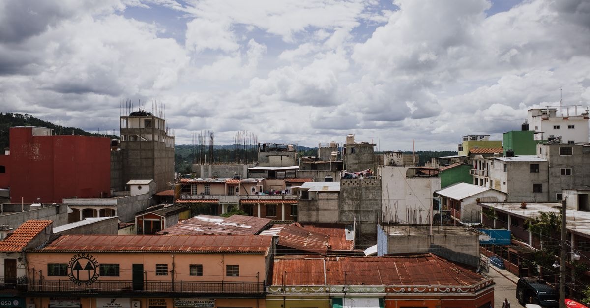
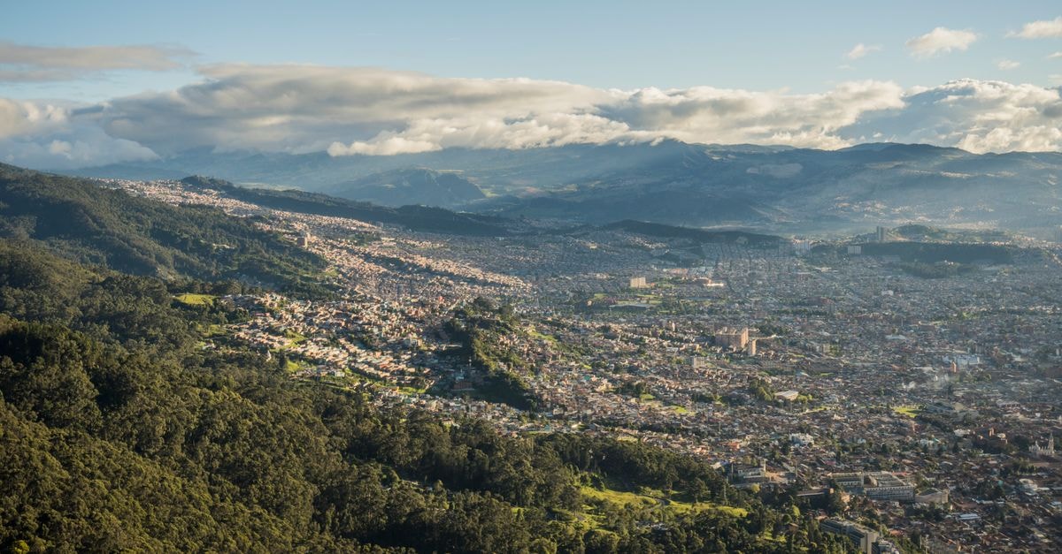
Mixco often shows up on a Guatemala map as a sprawling municipality on the western edge of the Guatemala City metropolitan area, the kind of place travelers pass through on the way somewhere else. That first impression undersells it. Set against the mountain slopes that rise from the capital basin, Mixco has its own rhythm: quieter residential zones, neighborhood eateries, and a defined sense of local identity that visitors rarely pick up from a transit window.
This guide is written for travelers who like to slow down, who want a more residential counterpoint to a Guatemala City stay, and who are curious about how a Guatemalan municipality organizes its own food traditions and daily life. The tone is evergreen because the supporting evidence here is durable rather than tied to a specific window of time: a layout that holds across visits, a transport pattern that repeats week to week, and a culinary identity that does not flip with the calendar.
If your plan is to base yourself in the urban core and add a few days of breathing room, Mixco's setting and access pattern are worth understanding before you commit.
Getting around
Mixco sits a short distance west of central Guatemala City, but the way you actually move through it is shaped by terrain more than by distance. The municipality climbs into the foothills, and the residential pockets that sit higher up feel noticeably removed from the busy corridors that connect the capital to the Pacific slope.
A useful thing to internalize before you arrive: some of the calmer, view-oriented neighborhoods in Mixco reward the choice with mountain scenery and cooler air, but those same qualities push you slightly off the main transport arteries. Reaching the bus routes, shared taxis, and major roads that link Mixco to the rest of the metro area typically requires a short taxi leg from the higher, quieter zones. That single detail tends to define how a visitor plans the day: settle the lodging, then build a routine around one or two anchor transport points rather than expecting door-to-door convenience.
Travelers who prioritize quiet surroundings and a residential feel over immediate transit access may suit Mixco's hillside pockets well. If you would rather be steps from frequent public transport, consider a base closer to a main Mixco artery or within Guatemala City itself, and treat Mixco as a daytime visit. Either way, plan your evenings with the return leg in mind, because taxi availability thins out the further you climb.
Attractions and planning
Mixco is not packaged as a checklist of headline sights, and the available evidence reflects that honestly. Travel platforms that cover the municipality frame it primarily as a place to explore local experiences, with a map-driven layout of things to do, stays, restaurants, and stores rather than a fixed shortlist of marquee attractions. That framing is a clue to how to approach a visit: rather than racing between landmarks, the practical move is to browse a live map view of local experiences and let proximity, opening hours, and personal interest shape the day.
For travelers who prefer a self-directed rhythm and like to anchor a day around a single neighborhood rather than a strict itinerary, Mixco's planning approach tends to fit well. If you are the type who wants a curated list of must-see landmarks and a guaranteed daily route, you may want to set clearer expectations before you arrive or build Mixco into a broader Guatemala City plan with structured activities elsewhere.
Food and local context
Mixco has its own recognizable food identity, and that is one of the strongest reasons to spend time here rather than treating it as a pass-through. Local coverage of the municipality's gastronomy describes a set of dishes that residents themselves associate with Mixco, presented at fairs and through local producers who take visible pride in the recipes. Chocolate and dulce de Mixco, along with the long-running Feria del Chicharrón in Mixco, are part of how the municipality talks about its own table, and that self-described identity is what sets the local food scene apart from generic Guatemala City dining.
What that means for a visitor is simple: eat where Mixco eats. Seek out local comedores and market-style stalls rather than chains, and pay attention to seasonal fairs and neighborhood celebrations, which are where the municipality's signature dishes tend to surface most clearly. Because the food identity is locally rooted, asking a host, a guide, or even a taxi driver which spot currently does the dish well usually pays off more than chasing any single recommendation.
Choosing what fits your trip
A short synthesis can help you decide how Mixco fits. If your priority is a residential base with mountain scenery and you are comfortable planning around a short taxi link to main transport, Mixco's quieter zones reward the trade. If you want to stay inside a denser urban rhythm with frequent transport and walkable dining, Guatemala City proper will serve you better, with Mixco as a daytime detour. For food-led travelers, the municipality's locally rooted identity, including its chocolate tradition and the Feria del Chicharrón, is best enjoyed through neighborhood spots and locally recommended comedores rather than a checklist of restaurants. For activity-led travelers, treat the local-experience map as your itinerary rather than a fixed attraction list, and confirm each stop's current status before you set out.
A quick verification note
Transport patterns, neighborhood character, and the visibility of local food traditions tend to stay stable in Mixco, but specific opening hours, fair dates, and the operating status of individual venues can shift. Before traveling, check current information through official channels, your lodging, or a recent local-experience map so that your day reflects what is actually open rather than what was open at the time of writing.
Share this article
TOOLS FOR THIS PLAN
Make the Mixco plan measurable
Choose a tool only when it answers the next question in your trip. Your values stay in the browser, and each tool offers a route back to this planning context.