A first look at Guatemala City

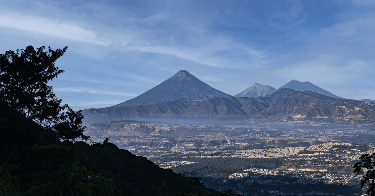
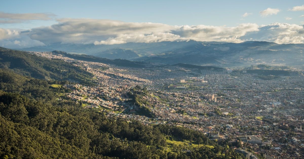
Guatemala City carries the dual identity that often surprises first-time visitors: it is the largest city in Central America and the political heart of Guatemala, yet it sits roughly 1,500 meters above sea level, so the air feels thinner and cooler than its tropical latitude would suggest. That elevation, paired with a long rainy season running from May through October, shapes the daily rhythm of anyone who chooses to spend time here. Rather than chasing a checklist of headline sights, a useful approach to Guatemala City is to slow down and let its highland climate, sprawling neighborhoods, and efficient bus network become familiar before you venture further.
What follows is a focused, evergreen guide that leans on the most concrete facts available: what the weather generally feels like, and how the city’s transport system actually works for newcomers. The goal is to leave you better prepared, not over-promised.
Weather and seasonal context
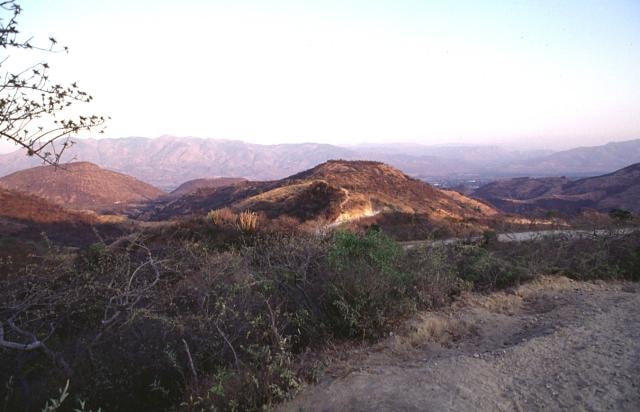
Because Guatemala City is built into a high-altitude plateau, weather is one of the first things travelers notice, and one of the easiest to misread. The city sits at an elevation of about 1,500 meters, which gives it a mild climate that rarely behaves like the steamy lowlands elsewhere in the region. Daytime temperatures tend to stay comfortable, while evenings can feel noticeably cool, a reminder that altitude matters more here than latitude.
The other big weather story is the rainy season. It runs from May to October, which means that for nearly half the year visitors should expect afternoon showers, overcast skies, and a softer, greener look to the surrounding hills. These rains usually arrive in heavy bursts rather than all-day drizzle, so the city does not grind to a halt, but they do shape how you plan a day outdoors. Mornings are often the clearest window, and it can feel wise to schedule walking time earlier and save heavier indoor plans for the afternoon when clouds tend to gather.
Pack with the climate in mind: a light layer for the cooler highland evenings, something waterproof or quick-drying for the rainy months, and shoes that can handle slick pavement after a downpour. Sun protection still matters at altitude, especially on clearer days, because the sun feels closer than it does at sea level.
Getting around
Guatemala City is a large, spread-out capital, and the way you move through it will color the whole experience. For most independent travelers, the city’s public transport network is the place to start understanding daily life here.
The backbone of that network is the Transmetro, Guatemala City’s bus rapid transit system. Transmetro uses dedicated lanes to connect major zones of the capital, which makes it noticeably faster than the older, shared public buses that weave through traffic. For visitors, the appeal is twofold: it is genuinely cheap, with fares of just Q1 per ride, and it reaches many of the busy districts a newcomer is most likely to want to visit. The catch is that the system can feel confusing at first. Routes are numbered, stops are spaced along the dedicated corridors, and connecting between lines sometimes requires a short walk or transfer, so patience on the first day usually pays off.
A few practical tips make the Transmetro easier to handle. Give yourself extra time on your first ride to read the signage at stops and ask locals which direction you need; Guatemalans are generally willing to point you the right way. Keep small change ready for the Q1 fare, since exact payment speeds up boarding. Because the buses use dedicated lanes during most of the day, traffic is less of an obstacle than on regular routes, but rush hours can still lengthen journey times, so plan loosely rather than tightly.
Beyond Transmetro, the city also has older public buses and a fleet of taxis, both of which fill the gaps the BRT system does not cover. For many travelers, the most comfortable approach is a simple mix: Transmetro for the major north-south and east-west corridors, supplemented by short taxi rides for first and last connections or when traveling late at night. Ride-hailing apps operate in the capital as well, which can be a useful backup for unfamiliar routes.
If you are based in the city for a while, getting a basic mental map of the Transmetro lines and the zones they serve is one of the most useful things you can do. It will save money, reduce friction, and give you a more authentic feel for how the capital moves from Monday to Sunday.
Pacing your days and staying flexible
Guatemala City rewards travelers who treat it as a base for slow exploration rather than a rush-through stop. The mild highland climate, the long rainy season, and the sheer geographic spread of the city all push in the same direction: build in margin. Leave room between plans, expect the occasional sudden shower between May and October, and use the Transmetro’s Q1 fare as an invitation to ride more often and learn the corridors by feel.
That mindset — patient, practical, and curious — tends to unlock the best of the capital. It is a working city, not a postcard, and engaging with it on its own terms is what makes a visit feel rewarding.
A note before you go
Practical details such as Transmetro routes, fares, and seasonal rainfall patterns can change. Always check official sources, recent government or transport-authority updates, and current travel advisories before your trip. The Q1 fare quoted here reflects the publicly reported price at the time of writing and should be confirmed close to departure. Local currency rates also fluctuate, so exchange any reference amounts with a live rate before budgeting. Treat this guide as a starting framework for your own research rather than a final checklist.
Share this article
TOOLS FOR THIS PLAN
Make the Guatemala City plan measurable
Choose a tool only when it answers the next question in your trip. Your values stay in the browser, and each tool offers a route back to this planning context.