City and district background: this article describes the city, rather than a verified lodging property.
Brokopondo as the Setting

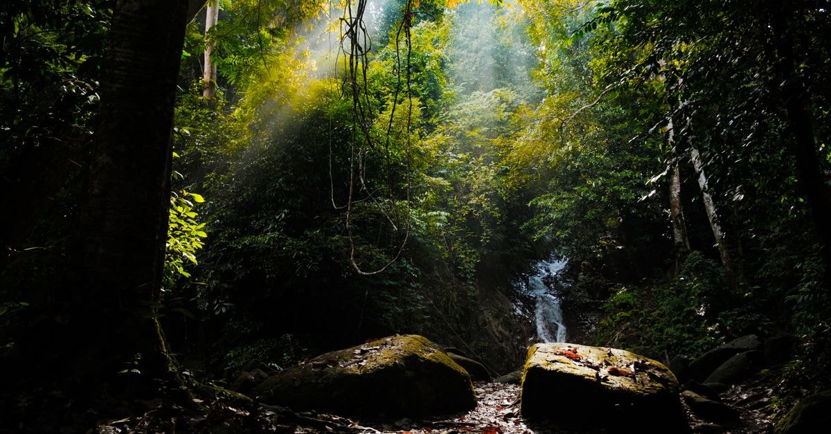
The town of Brokopondo sits at the heart of the Brokopondo district in Suriname, serving as the capital of the district and one of the two largest centers designated in the regional Brokopondo Development Plan, alongside Brownsweg, with a clear focus on tourism. The district carries ISO 3166-2 code SR-BR, FIPS code NS10, and HASC code SR.BR, and the local time zone runs at UTC-3:00, in line with much of Suriname's interior. Brokopondo district covers roughly 20,566 km² of landscape, with about 314 km² classified as the central urban zone, and an average elevation of around 51 m (167 ft). The climate is equatorial, with rainforest dominating the area and savannah pockets giving the region its distinctive ecological character.
Reaching the Town
Brokopondo can be reached via the Afobakaweg, the road that runs from Paranam through to Afobaka, threading through the district and tying it back to the coastal transportation network. Travelers typically start from Paramaribo: the distance between Paramaribo and Brokopondo is approximately 80 km, and the journey by car usually takes about 2 hours, depending on conditions along the Afobakaweg. Common ways to make the trip include taxi, bus, or rental car from Paramaribo, with bus services running between the two points, and rental cars available for those who prefer to drive the inland route themselves.
Local Character and Demographics
As the capital of the Brokopondo district, the town functions as a natural anchor for visitors exploring the surrounding interior. Demographically, the largest ethnic group in Brokopondo is the quilombola community, an important cultural thread that shapes local identity. The Brokopondo Development Plan's emphasis on tourism has positioned the town as a launch point for trips into the rainforest and the wider district, with diverse flora and fauna providing the backdrop for the visitor experience.
A Campground-Style Destination
Regional travel sources describe Brokopondo as a campground-style destination offering immersive nature experiences and a serene setting in the heart of Suriname, suited to outdoor adventures and tranquil escapes. Practical notes from the same sources recommend bringing insect repellent, as the area is home to various insects, especially during the warmer months of the year. Independent lodging indexes covering the Brokopondo area provide a map of hotels, motels, and other lodging across the broader region for travelers who want to compare what is available.
Planning the Visit
Because details about specific accommodations and on-the-ground services can change, travelers should verify current offerings before arrival. The combination of rainforest access, cultural heritage, and the town's official status as a tourism-focused center makes Brokopondo a useful base for exploring this part of Suriname, with weather, road conditions, and local service availability all worth checking ahead of time.
Share this article