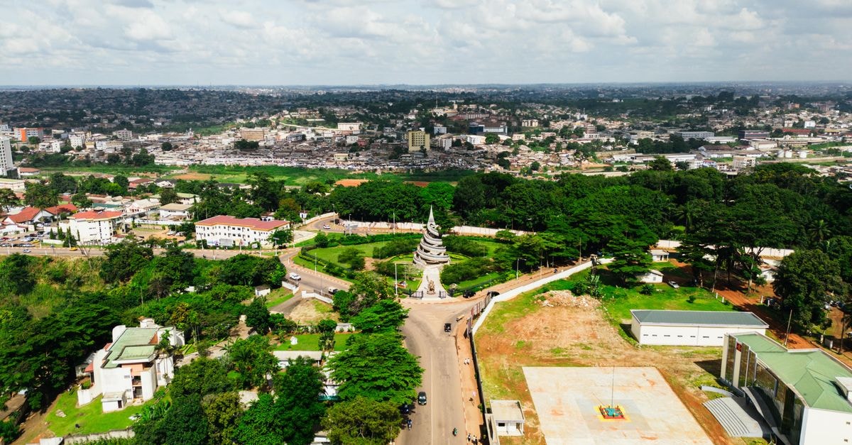
City and district background: this article describes the city, rather than a verified lodging property.
Where Cazenga Sits on the Luanda Map

Cazenga is a city and the most densely populated of the nine municipalities that make up the province of Luanda, Angola. Its position inside the administrative patchwork of the capital region, rather than on the outskirts, helps frame what visitors and residents encounter when they arrive. In Portuguese-language references, the same place is described as "uma cidade e município da província de Luanda, em Angola," confirming the city-and-municipality identity that defines this corner of the province.
The Name Behind the District
The district name carries a meaning that adds color to the address. Cazenga means "the place of the lions" in the Kimbundu language, one of the dominant languages spoken in Angola. The etymology reflects the local heritage and gives the municipality a name that resonates beyond its administrative borders, anchoring it in the wider cultural map of Angola where Kimbundu continues to shape street names, civic identity, and everyday conversation.
An Urban District in Fast Motion
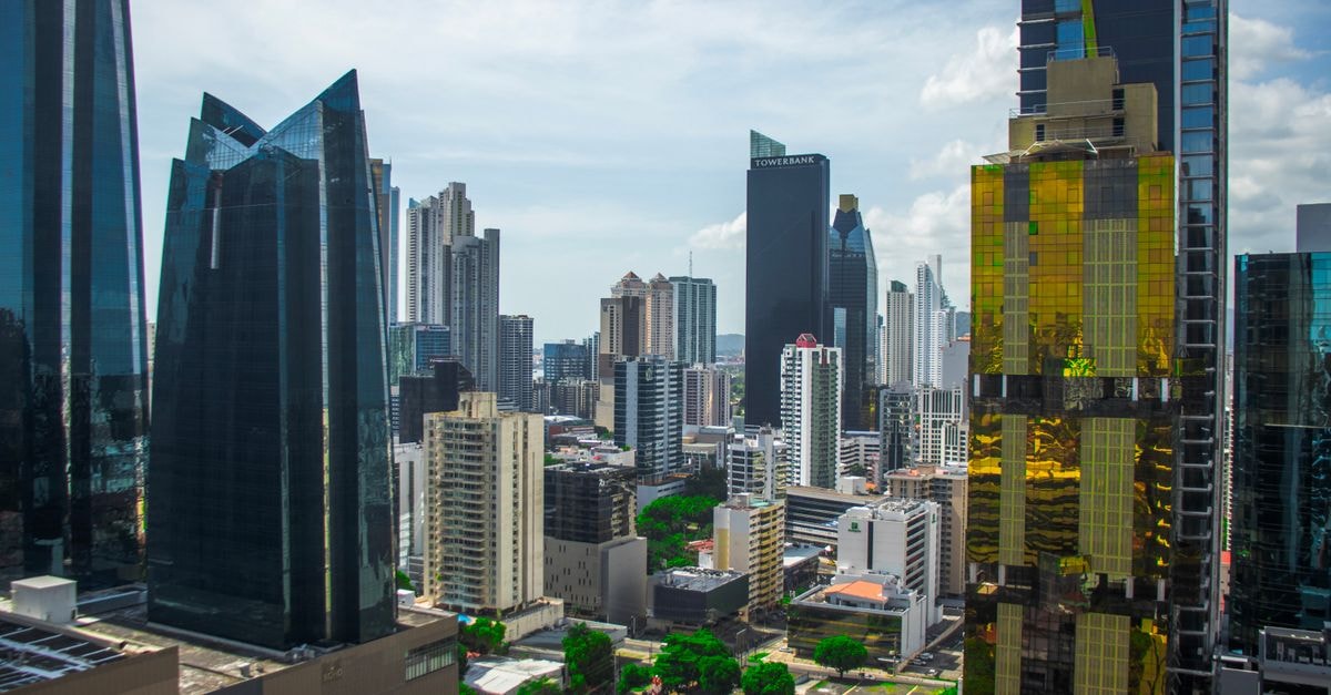
Cazenga is a densely populated urban municipality within Luanda Province, one of the nine administrative divisions of the capital region's province, and is characterized by rapid post-civil war expansion. That post-war growth shapes the everyday texture of the area, with layered housing, busy streets, and the constant hum of a community visibly building itself outward. Density, rather than openness, is the defining characteristic of the municipality, and it sets the rhythm for daily life across the district.
Community Mapping and Local Governance
Cazenga is also a place with a civic story worth knowing about. The Cazenga Atlas can be used by community members and local government to study the characteristics and conditions of the community. It provides the Cazenga Forum with information to support their discussions with local government and gives examples of how residents are improving Cazenga through innovative programs that can be replicated. For anyone curious about the district, the atlas offers a window into how residents themselves document their changing neighborhood and engage with local decision-makers.
A District Caught in a Snapshot of Time
The Cazenga Atlas marks a moment in time. A few years from now, residents can ask whether conditions have improved in Cazenga and have concrete reference points to know whether they have. The municipality is being actively measured, mapped, and reimagined by the people who live there, and the atlas gives them a baseline against which future change can be tracked. Understanding this civic project adds depth to any reading of the district today.
Practical Considerations
Cazenga's identity as a dense, fast-evolving municipality of Luanda Province means local conditions, services, and community projects continue to develop over time. Anyone planning a visit should confirm current neighborhood-level details closer to their travel date, as mutable information about amenities and programs can shift quickly in a district defined by ongoing change.
Share this article