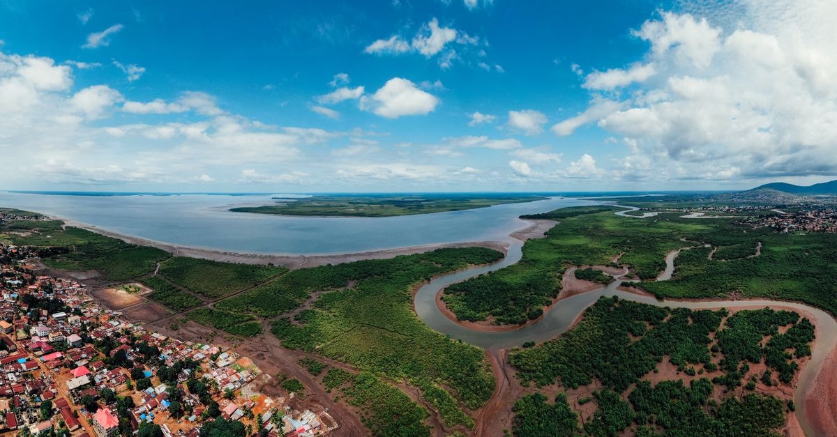
Matadi at a glance

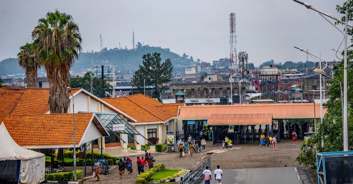
Matadi is a sizable city of about 300,000 people set on the banks of the River Congo in the western reaches of the Democratic Republic of the Congo, serving as the capital of Bas-Congo province. Because the city sits where the river meets the route toward the Atlantic, it also functions as the country's chief sea port, giving it a working, gateway feel that distinguishes it from inland administrative centers. For travelers, this combination of river scenery and logistical weight is the single most useful thing to know before arrival: Matadi is less of a leisure resort and more of a strategic, water-bound city where the river and the port shape daily life.
Weather and seasonal context
The climate here stays warm throughout the year, with daytime readings that typically sit between 28°C (82°F) and 32°C (90°F). That range describes the kind of heat that can feel persistent rather than extreme, especially when the sun is high or when you are walking along exposed streets and quays. Lightweight clothing, frequent water breaks, and a slower midday pace tend to serve visitors better than a packed sightseeing schedule from dawn to dusk.
The calendar divides into two broad patterns. From October through May, the region experiences a rainy season that brings high humidity and frequent, often heavy rainfall. The air can feel thick during this stretch, and sudden downpours are common, so a compact rain layer and quick-dry footwear are sensible. Outside that window, conditions generally feel drier and a touch more comfortable for being outdoors, though warmth remains constant. Rather than chasing a perfect weather window, it helps to plan around the rhythm of the day: mornings and late afternoons for moving around the city, with a shaded pause near the river when the heat peaks.
Getting around and orientation
Matadi's identity is tightly bound to water. It is the country's chief sea port and sits on the banks of the River Congo, which means the port and the riverfront are natural orientation points for any visitor trying to picture the city. Streets climb and dip around the river basin, and the sense of a working port is part of what makes a visit here feel distinct from DRC's interior hubs.
Because the city is large enough to cover on foot only in stretches, most travelers move through it in short hops, combining walking with whatever local transport is available on the day. When asking for directions or arranging a ride, anchoring to landmarks near the river and the port area tends to be more useful than street names alone, since the port itself is the city's most recognizable feature for newcomers. Giving yourself extra time for any movement around town is a small but worthwhile habit, both for the terrain and for the relaxed rhythm that tends to govern a port city of this size.
What this guide does and does not cover
This introduction is intentionally focused on what can be said with confidence: the warm year-round climate, the rainy-season pattern from October to May, and Matadi's role as a major western DRC city and the country's chief sea port on the River Congo. It deliberately does not list specific hotels, restaurants, attractions, prices, opening hours, or day-trip routes, because those details are best confirmed on the day or through a local contact rather than treated as fixed. Travelers planning a stay should verify the latest practical conditions through official and local channels before departure, as on-the-ground realities in a working port city can shift quickly.
A final verification note: weather patterns, port operations, and local services evolve over time. Treat the climate and orientation details above as a dependable starting frame, and cross-check current conditions, transport availability, and any safety guidance with up-to-date official sources before you travel.
Share this article
TOOLS FOR THIS PLAN
Make the Matadi plan measurable
Choose a tool only when it answers the next question in your trip. Your values stay in the browser, and each tool offers a route back to this planning context.