A river town shaped by movement

Koulikoro sits where the Niger River bends into a wider valley and where the tracks from the Atlantic coast finally reach the water. That single fact explains almost everything else about the town: its silhouette against the surrounding hills, its reason for existing, and the rhythm of daily life that visitors tend to notice first. Anyone visiting Koulikoro is, in a real sense, visiting a piece of Mali's transport history — a place that grew up because goods, people, and ideas had to cross paths here.
Landscape and seasonal context
Koulikoro sits in a transitional belt of West Africa where the landscape itself tells a climate story. The region functions as a vital transition zone between the semi-arid Sahelian belt and the more humid Sudanese savannah, with average altitudes ranging from 300 to 400 meters above sea level. That positioning means conditions can shift noticeably within the same day, and humidity from the river is part of the everyday feel.
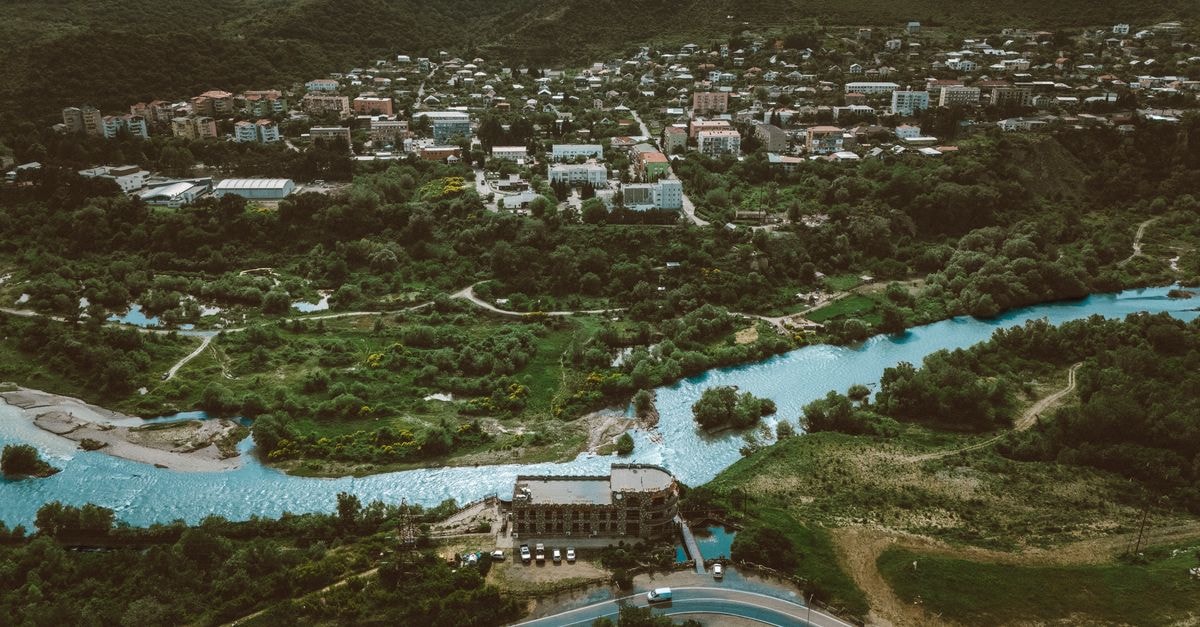
The hills above town add another layer to the picture. Composed primarily of lateritic rock, these elevations provide a strategic vantage point over the surrounding river valley, a factor that historically dictated the development of Koulikoro town in the 19th century. In practical terms, laterite heats up quickly under strong sun and releases that warmth after dark, so evenings can still feel warm. Travelers who find relentless heat tiring may want to pace the middle of the day gently and save outdoor exploring for the cooler edges of morning and evening.
The Niger also mediates the local climate. Because Koulikoro sits directly on the riverbank, breezes off the water tend to be the most welcome relief. Lightweight layers, sun protection, and patience with the rhythm of the day will serve visitors better than any single rule.
Getting around and the transport story
Koulikoro's identity is inseparable from movement. It is situated on the edge of the Niger River and the terminus of the Dakar-Niger Railway. That single combination — river to the north and east, tracks to the west — is why this stretch of riverbank matters so much to Mali's internal geography.
The historical weight here is real. At the beginning of the 20th century, Koulikoro was developed as a strategic port to facilitate the flow of goods from the Atlantic to the interior of Mali. Here, cargo was transshipped from trains onto steamships that navigated the Niger River downstream to Gao and Timbuktu. Walking along the riverbank and the rail corridor today, travelers can still read that story in the layout of the town: the relationship between the port area, the old ferry alignment, and the road in from Bamako all make more sense once you know what once moved through them.
For visitors, this history shapes how the town feels to move through. The town serves as a center of transportation then and now, which means that most of what you encounter on foot — trains arriving from the direction of Bamako, river traffic, cross-river movement — is connected to a tradition of through-travel rather than destination tourism. If your interests lean toward transit history or photography of working transport corridors, Koulikoro naturally fits that brief.
Food and wider Malian context
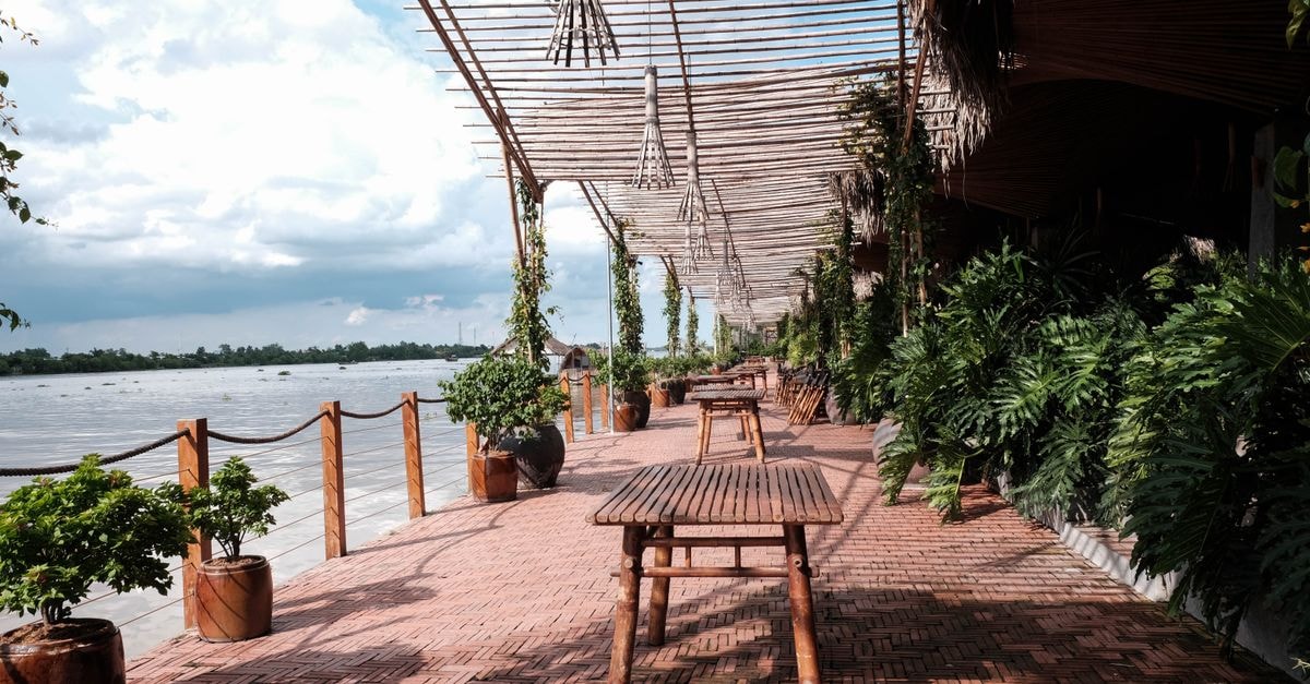
Malian cuisine varies from region to region due to different cultural groups, but there are dishes found throughout the country. In riverine settings, travelers can expect meals built around the rhythms of Niger River towns and the wider Sahel-to-savanna larder; specifics depend on the household or spot you eat in. One of Mali's liveliest gathering spots outside of Bamako is an open-air bar and restaurant at Mopti Harbour where locals and visitors brave the waterfront mosquitoes to watch daily sunsets, a reminder that open-air waterfront eating is a well-established tradition along the Niger. Koulikoro sits on the same river, so a similar pattern of simple, open-air meals by the water is reasonable to expect, even if individual establishments differ.
Planning notes
Prices, opening hours, schedules, reservation rules, and local conditions can change; verify them through official channels before departure.
Share this article
TOOLS FOR THIS PLAN
Make the Koulikoro plan measurable
Choose a tool only when it answers the next question in your trip. Your values stay in the browser, and each tool offers a route back to this planning context.