A slow introduction to Niger's river capital

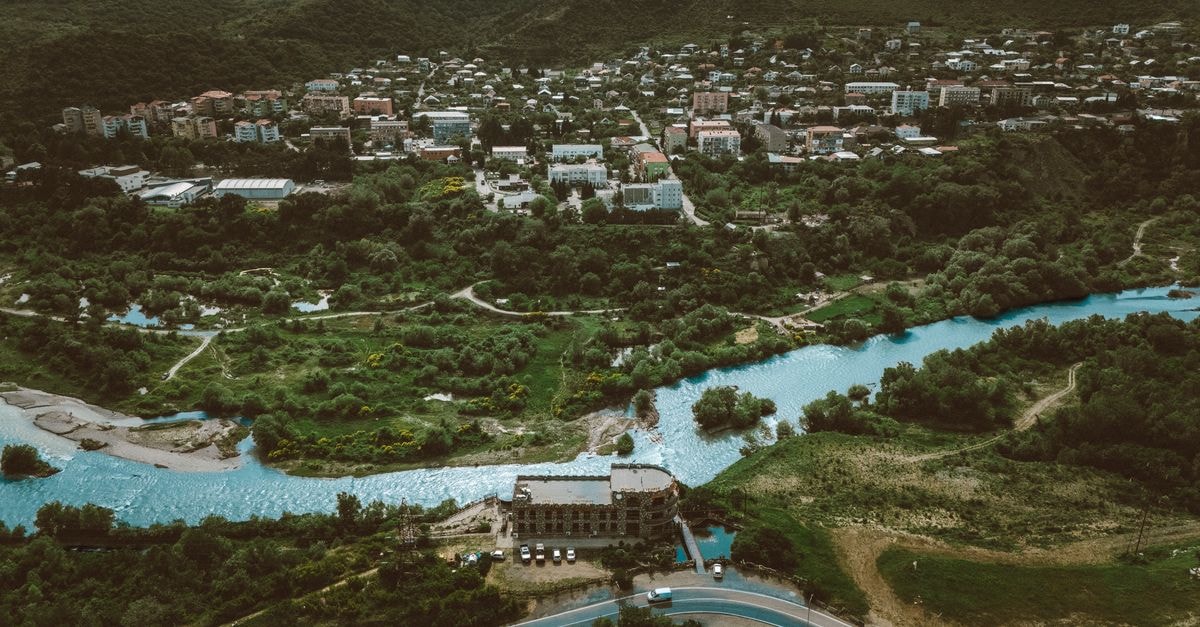
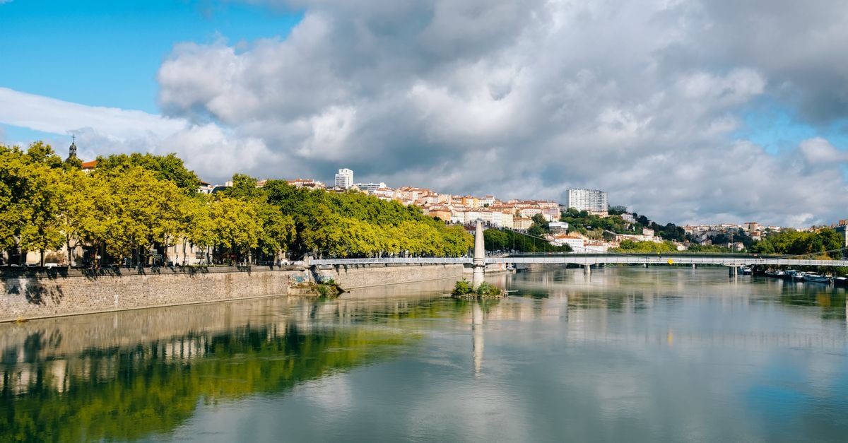
There is something quietly compelling about a capital that bends with its river. Niamey sits on a long, lazy curve of the Niger River in the southwest of the country, closer to Burkina Faso and Benin than to the Sahara's edge, and that geography shapes the whole mood of a visit. The city has grown quickly since independence, and its streets carry the everyday energy of a place where neighborhoods are expanding outward and life flows along riverfront arteries. Travelers who arrive with patience, rather than a packed checklist, tend to find Niamey's rhythm easiest to read on foot or by slow wandering.
Because this guide leans on a deliberately small evidence base, it treats Niamey as a destination to get oriented in rather than a checklist to tick through. The themes below — climate context and how people move around — are the ones where the available facts speak with confidence, so they form the backbone of the guide.
Weather and seasonal context
Niamey's climate is one of the first things visitors feel, even before they leave the airport. The city generally experiences warm conditions, and rain tends to arrive in heavy bursts rather than long drizzles, so a typical day can shift quickly from bright sun to a sudden downpour and back again. Because rain often falls in intense, concentrated showers rather than as steady drizzle, a light rain shell or compact umbrella earns its place in any day bag, even when the morning sky looks harmless.
It also helps to understand Niamey's wider setting before drawing conclusions about the weather. The city is positioned in southwestern Niger along the Niger River and near important political and transport corridors, which means conditions here reflect a transitional zone rather than the deep Sahara. Travelers used to coastal capitals sometimes misread how intense the sun can feel between showers, so pacing the day with shade in the hottest stretch, keeping water close at hand, and being willing to pause for a storm are practical habits rather than overcautious ones.
Because the source material describes Niamey's weather in broad terms, the guide treats these patterns as a long-running rhythm of the city rather than a precise forecast. The most reliable takeaway is the one any local will offer: expect warmth, expect sudden rain, and build the day with enough flexibility to wait out a heavy shower.
Getting around
Niamey is a city where movement itself is part of the experience, and a few grounded observations can help visitors feel less like outsiders on day one.
The first is geographic. Niamey sits on the Niger River in the southwest of the country, closer to Burkina Faso and Benin than to the Sahara's edge. That position, on a major river and near important corridors, is part of why the city has the road, river, and cross-border connections that it does. Travelers arriving overland or planning onward journeys quickly notice how the city's transport links line up with that southwestern position.
The second is about how Niamey actually moves. Urban transport here has developed alongside very rapid population and spatial growth since independence, and the day-to-day reality is a mix of formal and informal options shaped by that growth. Visitors who frame the city around that mix — rather than expecting a neat metro or bus map — tend to navigate more comfortably. Short walks between landmarks are often realistic in the cooler hours, and the riverfront gives the city a useful walking spine that makes orientation easier than the size of Niamey might suggest.
A third thread worth knowing is cultural-geographic rather than logistical. The Musée National Boubou Hama is the national museum of Niger and is located in Niamey, which makes it a natural anchor for a visit that wants both context and a sense of place. Treating the museum as a starting point — a place to read the country's story and then step back out into the city — tends to give the rest of a stay a clearer shape.
Finally, a practical note on expectations: because Niamey's transport picture is shaped by rapid growth and informal options, travelers benefit from asking locally about current routes, prices, and timings rather than relying on a fixed schedule from home. That habit, more than any single tip, tends to smooth a stay.
A verification note for travelers
Every concrete detail above — the riverside setting, the warm conditions and burst-like rainfall pattern, the museum's status as the national museum of Niger located in Niamey, and the city's southwest position closer to Burkina Faso and Benin than to the Sahara's edge — is drawn directly from the approved factual ledger for this guide. Anything not stated there, including specific prices, timetables, route numbers, or opening hours, has deliberately been left out rather than guessed.
Travel conditions, weather, and local services can change quickly, so before departure it is worth checking current information through official channels such as your government's travel advisories, the nearest Niger embassy or consulate, and any registered tour operator or host in Niamey. Treat this guide as an orientation, not a final word.
Share this article
TOOLS FOR THIS PLAN
Make the Niamey plan measurable
Choose a tool only when it answers the next question in your trip. Your values stay in the browser, and each tool offers a route back to this planning context.